DGPS (Differential Global Positioning System) survey equipment represents a significant advancement in the field of geospatial accuracy and precision. This sophisticated technology employs a network of fixed ground stations, which broadcast correction signals to GPS receivers. By compensating for atmospheric anomalies, satellite orbit variations, and clock discrepancies, DGPS enhances the positional accuracy of standard GPS measurements from approximately 10-15 meters down to within centimeters.
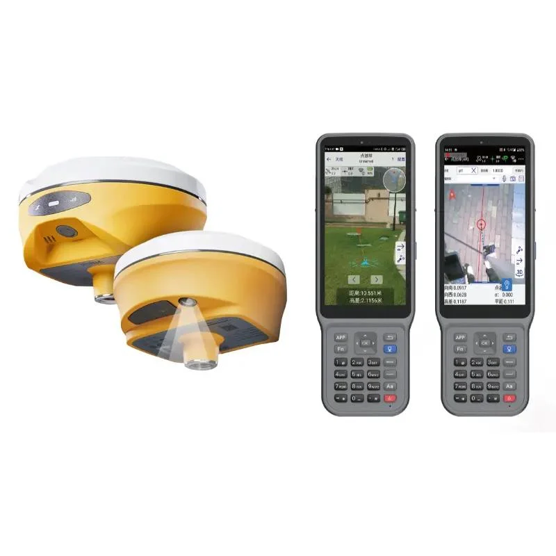
At the heart of DGPS survey equipment are high-precision receivers that can process these correction signals in real time. Typically, these systems consist of an antenna, receiver unit, data storage device, and often a user-friendly interface for easy navigation and data visualization. The antennas are designed to be highly sensitive to satellite signals while minimizing interference from other sources.
Surveys conducted with DGPS equipment find extensive applications across various fields such as land surveying, construction projects, agricultural mapping, environmental monitoring, and even maritime navigation. The ability to obtain high-quality geospatial data quickly makes DGPS an invaluable tool for professionals who require reliable positioning information.
In recent years, advancements in technology have further enhanced DGPS capabilities through integration with Geographic Information Systems (GIS), enabling users to visualize spatial data alongside other critical information layers. Additionally, many modern systems now incorporate wireless communication technologies that facilitate real-time data transfer and remote monitoring.
As we move forward into an era where precision is paramount—whether for urban planning or disaster response—the role of DGPS survey equipment will undoubtedly continue to grow. Its reliability and accuracy not only aid in effective decision-making but also underpin successful project implementation across multiple disciplines.
Showing all 3 results


