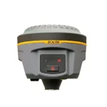
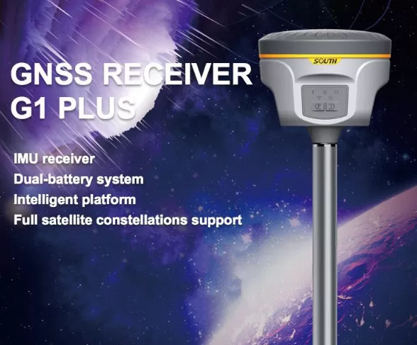
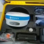
GPS RTK (Real-Time Kinematic) surveying equipment is a high-accuracy positioning system used for various surveying and mapping applications. Here are some key features and benefits:
Key Features
1. High-accuracy positioning: Up to 1-2 cm (0.4-0.8 in) accuracy in real-time.
2. Real-time corrections: Receives corrections from a base station or network, enabling real-time positioning.
3. Long-range capabilities: Can receive corrections from a base station up to 10-20 km (6-12 miles) away.
4. Fast and reliable: Provides fast and reliable positioning, even in challenging environments.
5. Compatibility with various software: Can be used with various surveying software, including Carlson, Trimble, and Leica.
Benefits
1. Improved accuracy: Enables high-accuracy positioning, reducing errors and increasing reliability.
2. Increased efficiency: Fast and reliable positioning reduces surveying time and increases productivity.
3. Reduced costs: Minimizes the need for repeat measurements and reduces surveying costs.
4. Enhanced data quality: Provides high-quality data, enabling better decision-making.
5. Flexibility: Can be used for various surveying applications, including topographic surveys, boundary surveys, and monitoring.
Applications
1. Surveying and mapping: GPS RTK is commonly used for topographic surveys, boundary surveys, and mapping.
2. Construction and building: Used for layout, as-built surveys, and monitoring.
3. Geology and mining: Used for geological mapping, monitoring, and exploration.
4. Agriculture and forestry: Used for precision farming, crop monitoring, and forestry management.
5. Monitoring and inspection: Used for structural monitoring, deformation analysis, and inspection.
Equipment Components
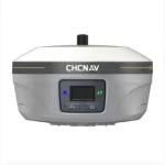
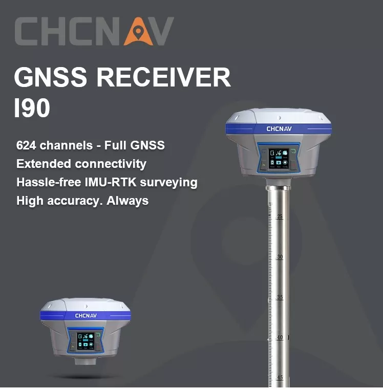
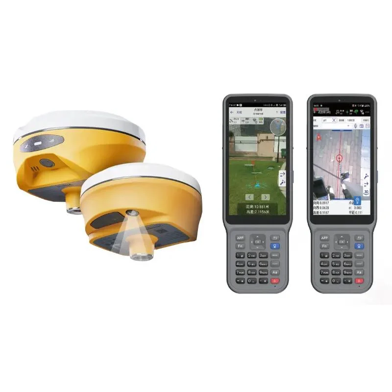
1. GPS receiver: Receives GPS signals and calculates positions.
2. Base station: Provides corrections to the GPS receiver, enabling real-time positioning.
3. Radio link: Transmits corrections from the base station to the GPS receiver.
4. Antenna: Receives GPS signals and radio corrections.
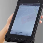
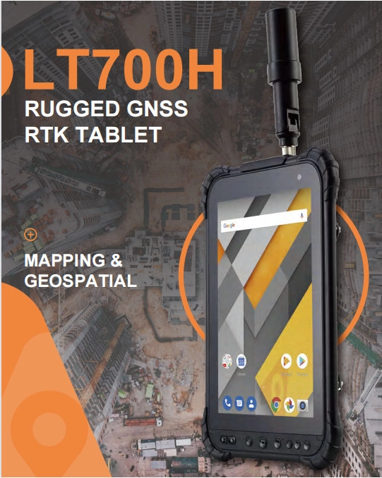
5. Controller: Controls the GPS receiver, base station, and radio link.
Manufacturers
1. Trimble: Offers a range of GPS RTK systems, including the Trimble R10 and R8.
2. Leica: Offers GPS RTK systems, including the Leica Viva and SmartStation.
3. Topcon: Offers GPS RTK systems, including the Topcon GR and HiPer.
4. Hexagon: Offers GPS RTK systems, including the Hexagon GeoMax and Javad.
5. CHC: Offers GPS RTK systems, including the CHC CCRS and i80.
Showing all 16 results
